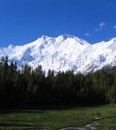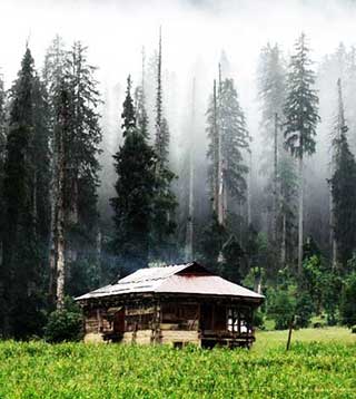
Kel Valley is situated 19 kilometers (11.8 miles) from Sharda and 90 (55.9 miles) from Authmuqam in District Neelum of Azad Jammu & Kashmir. It is a small valley at a height of 2097 meters (6880 feet) above sea level. It is one of the most charming and picturesque places of Neelum. The Shounter Nallah joins River Neelam at this place and leads to Gilgit Agency over the Shandur Pass which is at a height of 4420 meters (14502 feet) above sea level. Kel is a base camp of mountaineering activities upto “Sarawaali Peak” which is 6326 meters (20755 feet) high, and glacier (about 25 kilometers long) which are said to be highest peak and longest glaciers of Azad Kashmir.
Busses ply daily on this route. It is advisable to hire a jeep from Authmuqam for a trip into the valley. Horses and ponies can be hired locally for travel to the interior of the valley. Banks, college, bazar, PCO, and tourist motels are also available here. The border village about 38 kilometers ahead of Kel,is a fascination yet unexplored. Halmat, Tao Butt, Jamwari, and Sardari are famous for their marvelous beauty. From Kel a long track goes towards Nanga Parbat over the Shounter Gali which is 4420 meters (14502 feet) above sea level. The beautiful plateau of Arang Kel can be reached after 2 hours of hike from Kel, about 460 meter (1500 feet) decline from River Neelam, is a worth visiting place.
Map:
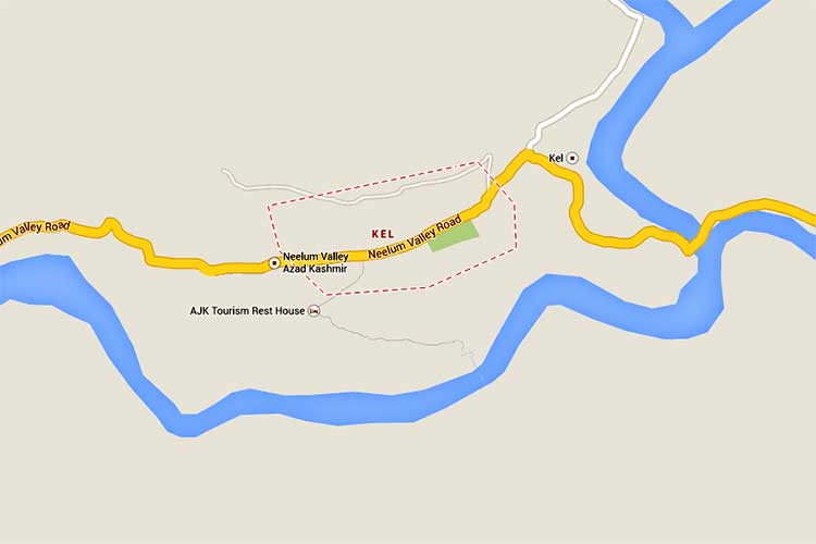
Map of Kel Valley – click on map image to see detailed map